Ranging and Mapping
UNI-T provides full-lifecycle testing solutions covering land surveying, construction layout, infrastructure inspection, and geographic data collection, supporting distance, height, angle measurement, laser ranging, and on-site data recording for accurate mapping and efficient field operations.

Key Applications
Solution Overview
With the rapid development of high-tech today, do you still get used to using tape or steel tap to measure area? This method may satisfy basic requirements but it may cause larger error in long distance measurements, story height measurements and hard-to-reach measurements, it also has disadvantages of heavy labor intensity and cumbersome steps. The method is too original and traditional to satisfy information-based and efficient society. Therefore, Uni-Trend Company launches ranging and mapping series products to provide professional and accurate solutions for land area measurement, engineering mapping and house survey.
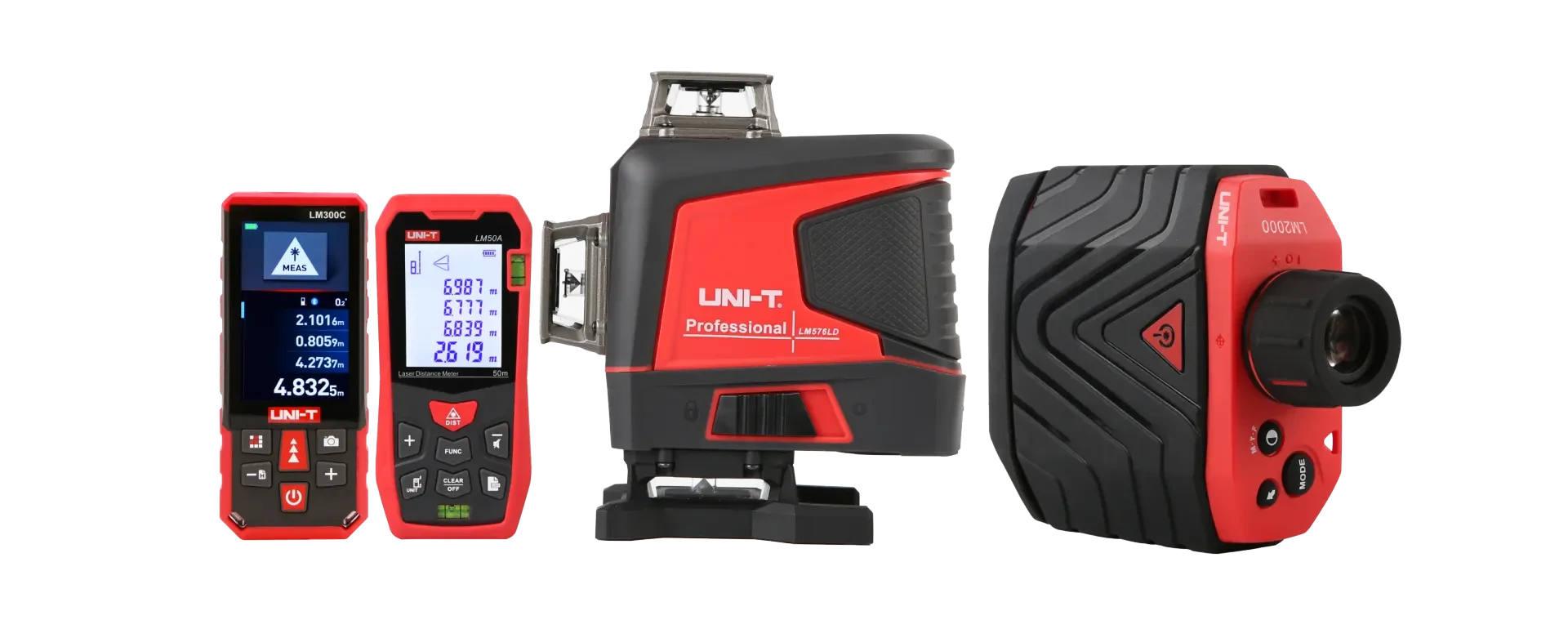
Laser Distance & Area Measurement Solution: Covers rapid measurement of distance, area, and volume in indoor and outdoor environments. Suitable for interior decoration, real estate surveying, and construction layout, enabling quick data collection and accurate estimation.
Applicable Instruments: Laser Distance Meter, Laser Distance Measurer with Camera, Digital Angle Finder
Height & Distance Surveying Solution: Covers long-range distance measurement, height calculation, and angle measurement for outdoor targets. Suitable for power line tower inspection, forestry surveying, and infrastructure construction, helping field engineers locate targets accurately and safely.
Applicable Instruments: Laser Rangefinder, Telescope Rangefinder, Angle & Height Measurement Instrument
Precision Leveling & Alignment Solution: Covers horizontal alignment, vertical plumb, and surface leveling tasks. Suitable for equipment installation, structural engineering, and machinery setup, ensuring accurate positioning and alignment.
Applicable Instruments: Digital Level, Cross Line Laser Level, Rotary Laser Level
Field Data Recording & Mapping Solution: Covers real-time data storage, Bluetooth transmission, and report generation for surveying and mapping projects. Suitable for geographic data collection and on-site documentation, improving field work efficiency.
Applicable Instruments: Laser Rangefinder with Bluetooth & APP, Data Logging Multimeter, GPS-enabled Surveying Tools
From simple indoor distance measurement to complex outdoor infrastructure surveying, we provide rugged, reliable, and highly accurate measuring instruments suitable for various field environments. Our solutions cover the entire workflow—from initial layout and height calculation to final data recording and reporting, helping engineers and surveyors improve efficiency, ensure safety, and reduce overall project costs. Our technical team can also assist you in selecting the right instruments and customizing measurement workflows tailored to your project needs.
Discuss your construction & surveying project
Tell us your measurement requirements and our team will recommend the right instruments and tools for your application.